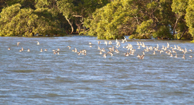
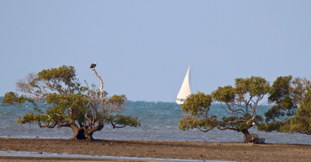
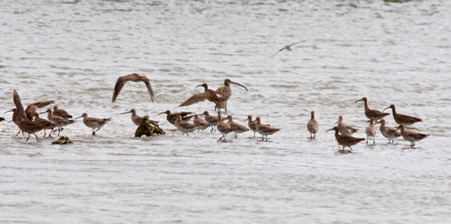
North Stradbroke Island, also known as Terrangeri, and Minjerribah, and of course Straddie, is on the Eastern edge of Moreton Bay. Large parts of Moreton Bay, including around half of Straddie are included in the Moreton Bay Ramsar site, declared in 1993. It was the first Ramsar protected site in Queensland. Stradbroke is included because of its extensive wetlands and aquifer. The Ramsar Convention for the protection of internationally important wetlands has been signed by 171 nations, including Australia. For detailed information about the Ramsar Convention and to read the agreement see https://www.ramsar.org/sites/default/files/documents/library/handbook1_5ed_introductiontoconvention_e.pdf
The Moreton Bay Ramsar site:
“meets all nine criteria for the designation of wetlands of international importance. It is notable for its large size, diversity of wetland habitats, connectivity between wetland types, as well as diverse flora and fauna that includes threatened species and ecological communities. It contains seagrass, sandy and muddy tidal flats and subtidal areas, saltmarsh, mangroves and coral communities, freshwater wetlands, as well as ocean beaches and dunes.”
For detailed information about the Moreton Bay Ramsar site, including overview, its location and maps of the site, see http://www.environment.gov.au/cgi-bin/wetlands/ramsardetails.pl?refcode=41
Contracting parties have agreed to protect listed wetlands. To reinforce protection, parties are obliged by the Convention not to delete or restrict boundaries of a Ramsar site, unless for “urgent national interests” Yet, the Queensland Government wants to allow a property developer to destroy over 40 hectares (100 acres) of the Moreton Bay Ramsar site at Cleveland for a real estate development. See the Toondah Harbour tab for more information.
The Moreton Bay Marine Park also overlaps with a large part of the Ramsar site. For more information, see https://wetlandinfo.des.qld.gov.au/wetlands/facts-maps/marine-park-moreton-bay/


