Stradbroke – Ecology
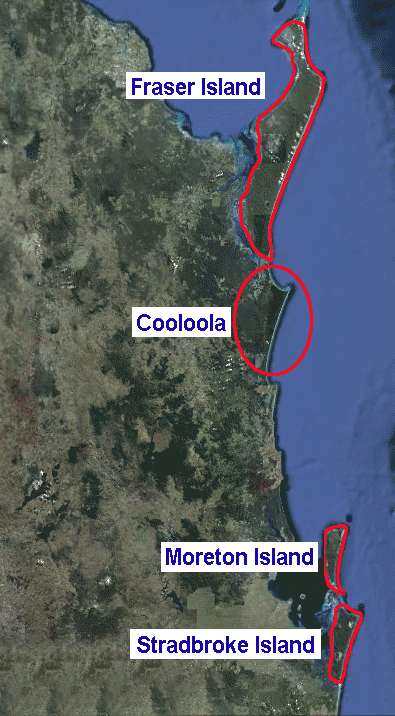
Stradbroke Island is one of a chain of sand islands and other dune landscapes guarding the coast of South East Queensland. North Stradbroke is the second largest sand island in the world and is internationally recognised.
Sandmining on Stradbroke ended, finally, in December, 2019. Rehabilitation of mine sites should take many years to re-establish vegetation and landscapes to a high standard.
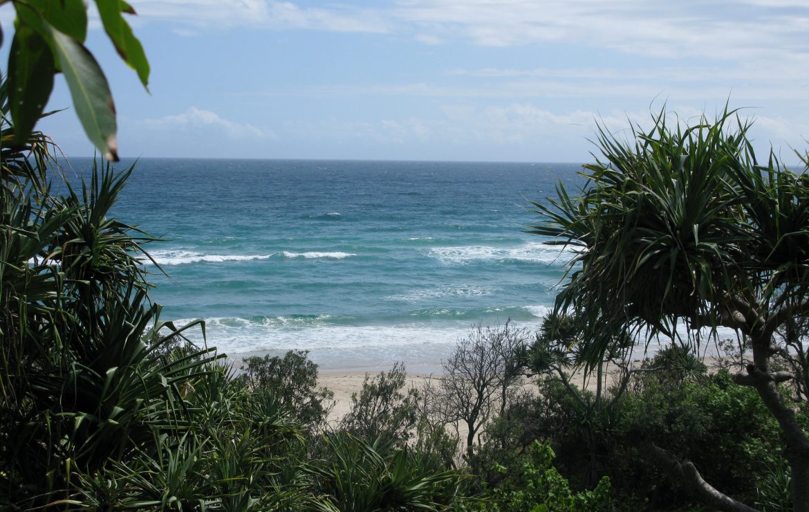
The coastal dune country is particularly complex on Straddie with its freshwater lakes, rare sand rainforest and wildflower heath. There are a number of threatened or endangered species as well as unique species, for example frogs, still being discovered on Straddie. The State Government has promised to declare at least 80% of the island National Park. Currently around 50% is National Park, jointly managed by the State Government and the Quandamooka Yoolooburrabee Aboriginal Corporation (QYAC).
Stradbroke Islands
Prior to 1896, North and South Stradbroke Island were connected, with the island simply called Stradbroke Island. However, in 1896 the sea broke through at Jumpinin and now there are two islands. Unlike North Stradbroke, which has high species and ecosystem diversity, South Stradbroke has lower diversity. It is just a few metres above sea level and only 2.5 kilometres wide. South Stradbroke has mainly wallum scrub, with dune plants and casuarina on the East side. Due to the separation of the Stradbroke swamp wallabies from the mainland wallabies, a golden coloured wallaby is found on the Stradbroke Islands.
See more about:
For detailed information about Stradbroke, see A Nature Guide to North Stradbroke Island, published in 2016.