An Island of Sand and Water
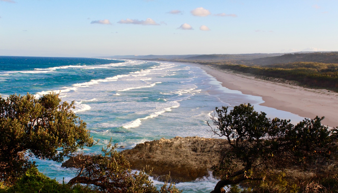
North Stradbroke Island is one of a chain of sand islands and other dune landscapes guarding the coast of South East Queensland. The Island is the second largest sand island in the world. Fraser Island is the largest. Stradbroke forms part of the eastern border of Moreton Bay.
Point Lookout’s rocky headland and dramatic gorge and seascape are remnants of Triassic era volcanic activity over 200 million years ago.


Ocean currents over the millennia have deposited sand using the rocky outcrops as anchor points. Prevailing south easterly wind blown sands accumulated, forming giant parabolic dunes migrating up the island in a north westerly direction.
Lying beneath and emerging into the dunes there developed a complex hydrological (water) system. Rain water was directed through the dunes by a series of hardened layers to be stored in a fresh water aquifer (ground water).

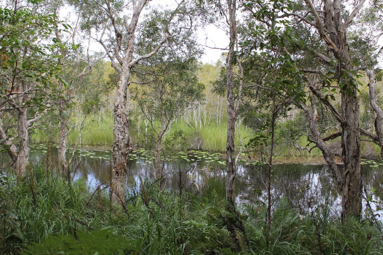
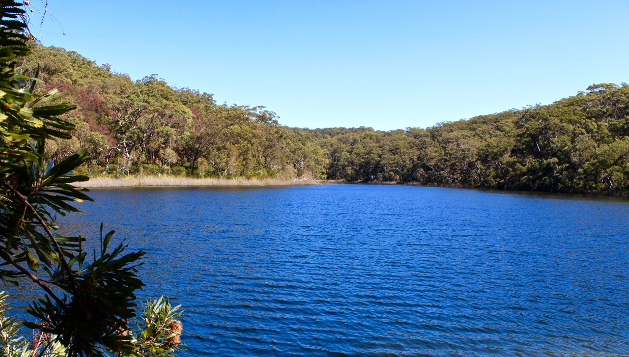
Blue Lake (Karboora or Kaboora), called a window lake, is a “window” into the aquifer because water flows into the lake constantly and then emerges from the lake as a stream which flows into 18 Mile Swamp.
Enormous quantities from the aquifer flow into waterways all over the island. These flows are also visible at Amity Swamp and Myora Springs.
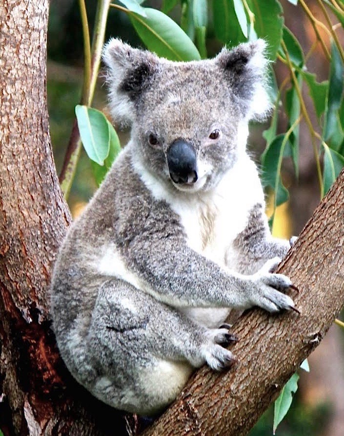
The hydrological systems that give vibrant natural life to Stradbroke Island are complex and finely balanced. Human activities such as sand mining and related processes, and water extraction to the mainland, together with a heating and drying climate have created huge risk factors for the island’s ancient ecosystems and its amazing wildlife.


